It'd been raining overnight and that morning but it seemed alright. Unfortunately it started raining after an hour or so. This time however I decided to put my rain coat on so my upper body stayed mostly dry.
After some lunch and a hot chocolate in Kaeo and with leg warmers on just incase, I set off, but not to the mtb track. It'd have been very adventurous even when dry and I really didn't want to get stuck in the middle of a storm.
Luckily the rain stopped and the sun came out but my day was still far from over. Google maps had said it would take 2.5 hours to go 20km and it was actually right for once!


I turned off the main highway a few kms out of Kaeo. The first few km were on sealed roads and went by easily. After that the surface was pretty much as bad as parts of the Hells500 ride Ol'Dirty. The opening was slushy with large rocks that bounced both my wheels around. Then the climb started. I don't mind climbing on most gravel roads but I wouldn't call this gravel. The best way I could describe it is to compare it to wet concrete that'd just been tipped of the truck. The going was very tough and my mudguards were getting clogged with mud. The wheels still managed to turn alright although if I needed to ride much further I'd have considered taking the mudguards off.

After a whole bunch of short breaks I made it to the campsite, just a basic Department of Conservation site. Doc sites tend to have the best locations, but often at the expense of luxuries like hit showers.
It looked like it was just me and and a German guy who was doing pays off the Te Araroa track but later in the afternoon a few vehicles turned up as well as a few separate people doing the full Te Araroa track.
After a good meal and a chat my bed was waiting.
Distance day 53km total 743km
Ascent day 800m total 9000m

My sleep was a little restless so when I saw it start to lighten I quickly got up and managed to catch the sunrise for the first time.
It really didn't look like I was up at 350m as as far as I could see was the same sort of farmland I'd been pushing through all week.
As I was up fairly early I also managed to get going earlier than previous days although not by much.
The first cycle tourists I met had mentioned the twin coast cycle trail and although incomplete I noticed I was close to one open section. They did warn me about obstacles but not to the right extent.
My trip to the start of the trail in Okaihau was really easy. The first thing I saw of the trail was a small cattle grate wide enough for a bike to fit easily. Unfortunately they then put a bollard in the middle so my loaded bike couldn't fit forcing me to lift it over whilst balancing on the cattle grate.

I guess I've been spoilt by the excellent Lilydale to Warburton rail trail but the surface of this trail combined with stopping every few minutes to carry my bike made this a very miserable experience. If I did it again I'd skip the section around Lake Omapere and go on the parallel road as the second half of the track was much better.
From Kaikohe I headed to the Ngawha hot springs were I thoroughly enjoyed being in the basing temperature pools. After a long time in there and a decent time for lunch I was finally heading towards the Bay of Islands. The previous days climbing up to the campsite meant I had middle Descending to do which was nice as the wind wasn't always favourable.
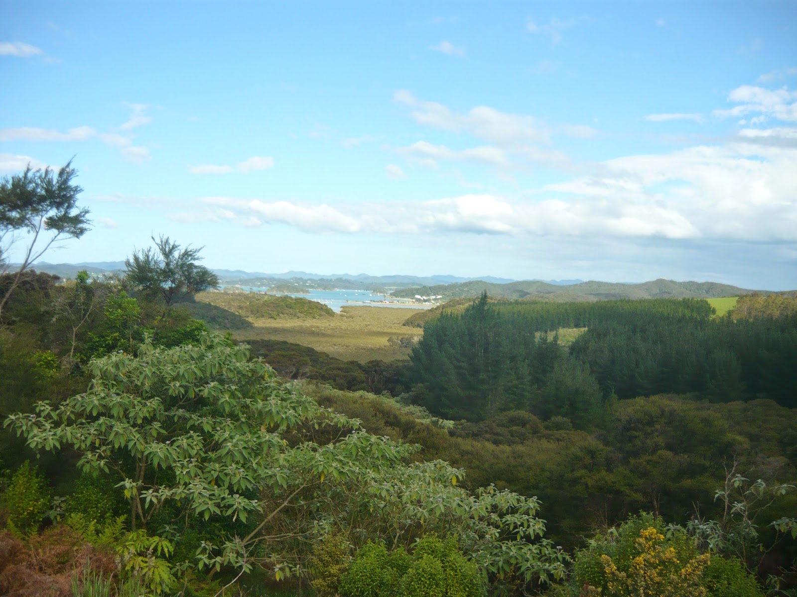
After a decent restock of food in Paihia I jumped on a ferry to Russel where I'm currently camped.
Distance day 86km total 829km
Ascent day 750m total 9750m.
And up to date!
No comments:
Post a Comment